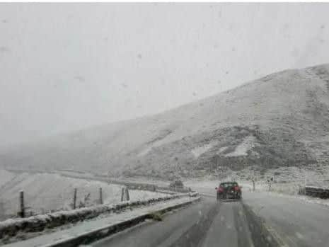
This is when snow and ice could hit Yorkshire as Met Office issue weather warning


A yellow weather warning for snow and ice is in place from 12pm on Tuesday (29 Jan) until 11am on Wednesday (30 Jan).This weather warning covers North, East, South and West Yorkshire.
The Met Office said: “A band of rain will arrive across Wales, northern and western England through the middle of Tuesday, then move eastwards through Tuesday afternoon and evening.
Advertisement
Hide AdAdvertisement
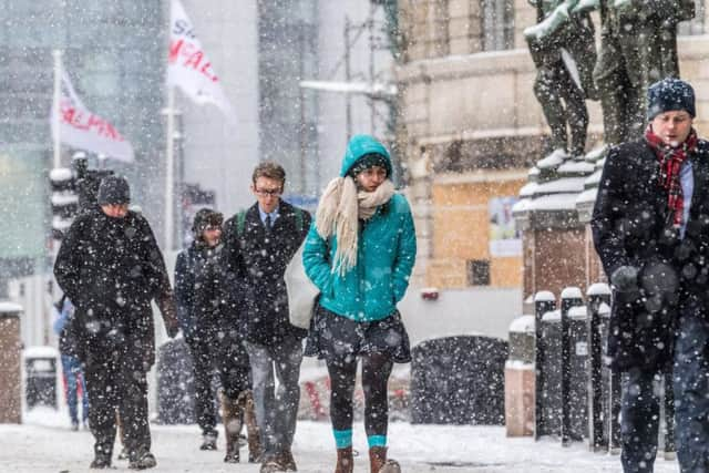
Hide Ad“The rain will turn quickly to snow on hills, then also to low levels in places. 3 to 5 cm snow is likely above 200 metres, with up to 10 cm in a few places. A patchy covering of 1 to 2 cm is possible at low levels, although some places will see no snow at all.
“As skies clear overnight, ice is likely to form on some surfaces. In addition, wintry showers will follow into western areas on Wednesday morning, giving further slight accumulations of snow in a few places.”

Rain turning to snow, especially on hills, then turning icy.- Some roads and railways likely to be affected with longer journey times by road, bus and train services
- Some injuries from slips and falls on icy surfaces
- Probably some ice on some untreated roads, pavements and cycle paths
Advertisement
Hide AdAdvertisement
Hide AdThis week’s weather forecastAccording to the Met Office, tonight Yorkshire will see “A largely clear evening, with temperatures falling rapidly below freezing after dark.“Scattered snow showers spreading in from the west later, though remaining largely dry in the east. Minimum temperature -3 °C.”
Tuesday will see “A cold, frosty start, with further snow showers in the west. Largely dry elsewhere but a more organised band of sleet and snow expected across most areas later,” add the Met Office.
The outlook for Wednesday to Friday shows that it will be “Cold throughout, with overnight frosts. Snow clearing east overnight, then largely dry and sunny Wednesday and Thursday. A risk of wintry showers on Friday.”